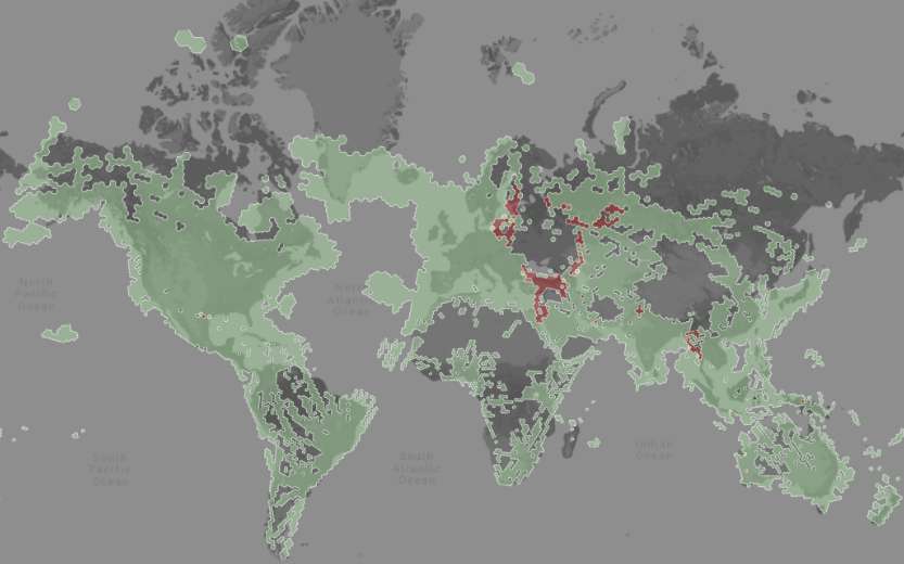
GPS threats are increasing at a record rate
The intensification of conflicts around the globe is adversely affecting GPS reliability, with a surge in interference attacks impacting vast areas of Europe and the Middle East, leading to major disruptions for civilians. In parallel, there is a growing trend of criminals utilizing jammers for drug trafficking, cargo theft, and other unlawful activities in North America. Over the past few years, sporadic GPS jamming and spoofing incidents have disrupted operations at significant American airports. Additionally, many ordinary citizens in the United States are now acquiring inexpensive retail jammers, driven by concerns regarding privacy and the rise of anti-government conspiracy theories.

Security analysts have dedicated years to highlighting the risks of targeted attacks on GPS, which could disrupt critical infrastructures such as the financial system, power grid, air traffic systems, and emergency services. Although there is a growing movement advocating for the development of GPS backup capabilities, it is essential to address another pressing issue concurrently.
America is in urgent need of an automated national detection system that can immediately recognize GPS interference and offer accurate real-time maps detailing the specific locations of its impact.
The deficiency of a coordinated, real-time detection system for high-precision jamming and spoofing is a significant shortcoming in our satellite navigation capabilities, leaving American government, commercial, and emergency operations vulnerable domestically.
Tracking emitters
Accurately geolocating the source of an interference attack, which is the emitter, is imperative for deploying quick and effective countermeasures, such as turning off the jammers to regain navigation service.
The process of finding the emitter is instrumental in uncovering the precise location of the interference, indicating where it is expected to have the most substantial effect and which assets are most endangered.
Still, the task of accurately locating emitters with traditional ground-based sensors is often quite complex. A major challenge is that mobile jammers frequently operate with low-power signals, which are more challenging to detect from a distance and can reflect off structures like buildings, vehicles, and trees. The mobility of these jammers, which often change locations, further complicates tracking. Furthermore, sophisticated jammers may employ detection countermeasures such as omnidirectional antennas and frequency hopping, making triangulation increasingly difficult.
A detection system based on smartphones would significantly boost the number of sensors engaged in tracking the emitter. A tightly woven grid of detection points would facilitate the rapid and accurate detection, confirmation, and centralization of information regarding signal location in real time, even if the emitter moves. It has been observed that large networks of mobile devices can offer real-time monitoring of the ionosphere, thereby enhancing positioning accuracy.


